
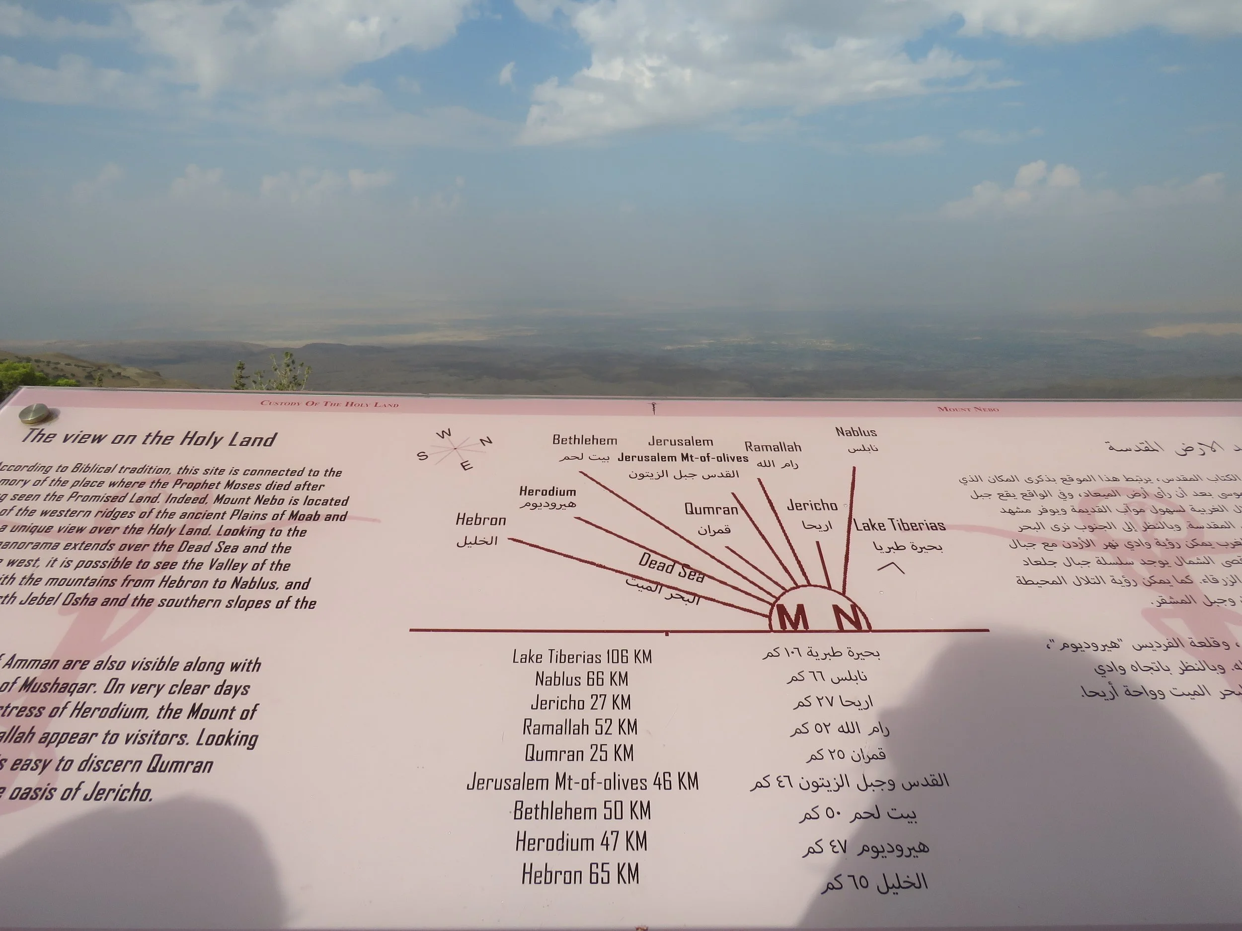
This sign shows which sites you can spot from Mt Nebo.
Just recently Nico, my 12 year old grandson, and I flew to Amman, Jordan. I had been briefly to Jordan before - to visit Petra.
This time we would explore more of this ancient country and learn much more about its history.
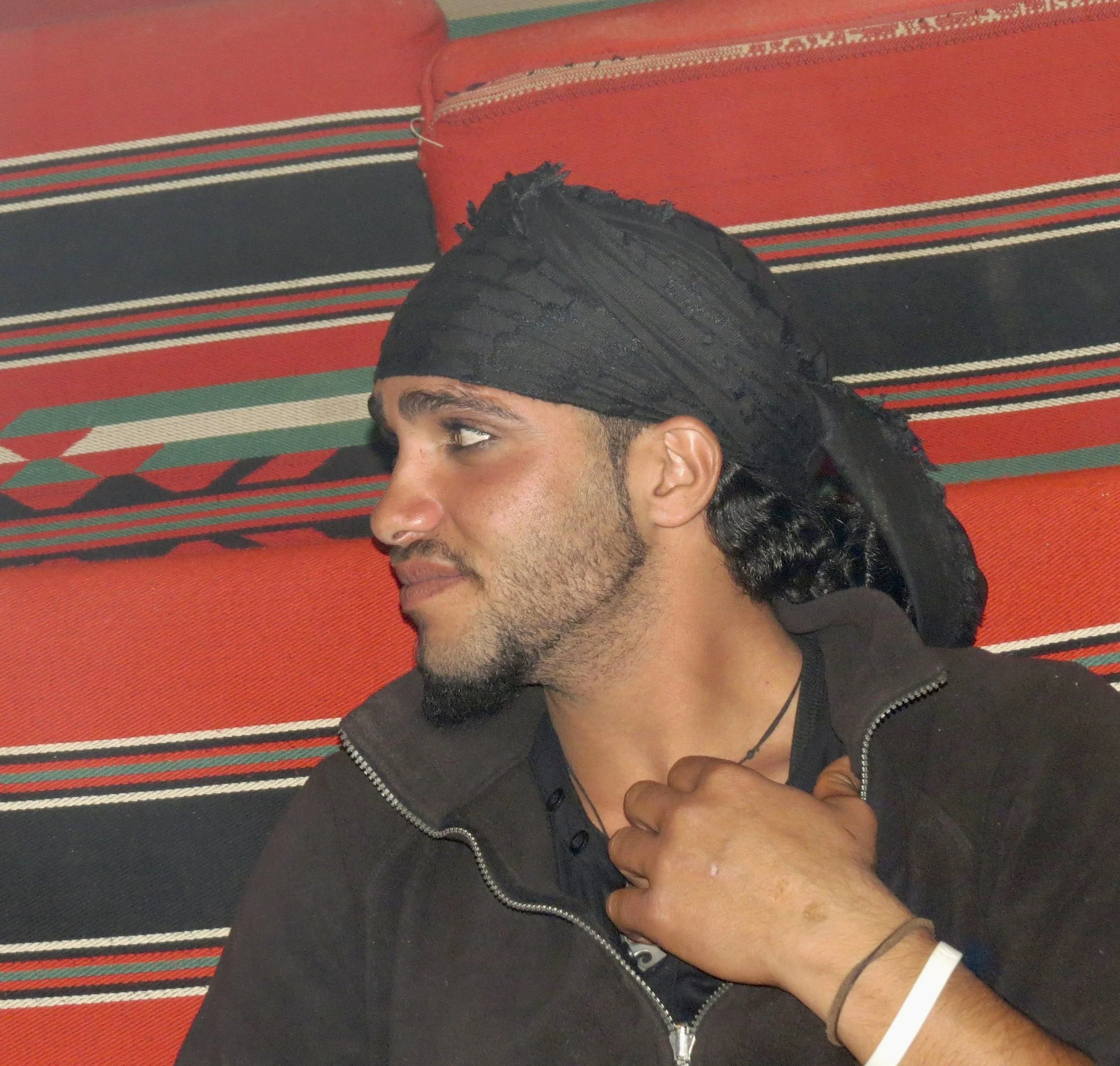
Bedouin often live in traditionally woven tents and line their eyes with kohl.
While the current Hashemite Kingdom of Jordan is relatively new, formed in 1949, the country has ancient roots. The land has been part of Assyria, Babylon, Byzantium, Persia and more. Now a democratic kingdom, Hashemite refers to the fact that the Hashemite people of Jordan are direct descents from the Prophet Mohammed. Jordan is considered one of the safest countries of the Arab world. And we certainly found it to be, except for the traffic :-)
The main demographic groups include the original Bedouin people who are semi nomadic but have largely settled, often in traditional tents; Middle Eastern people who have settled in this land from Palestine, Iraq, Saudi Arabia and other countries; and people who have lived in small villages and worked the land for millennia. Jordan is also home to many refugees.
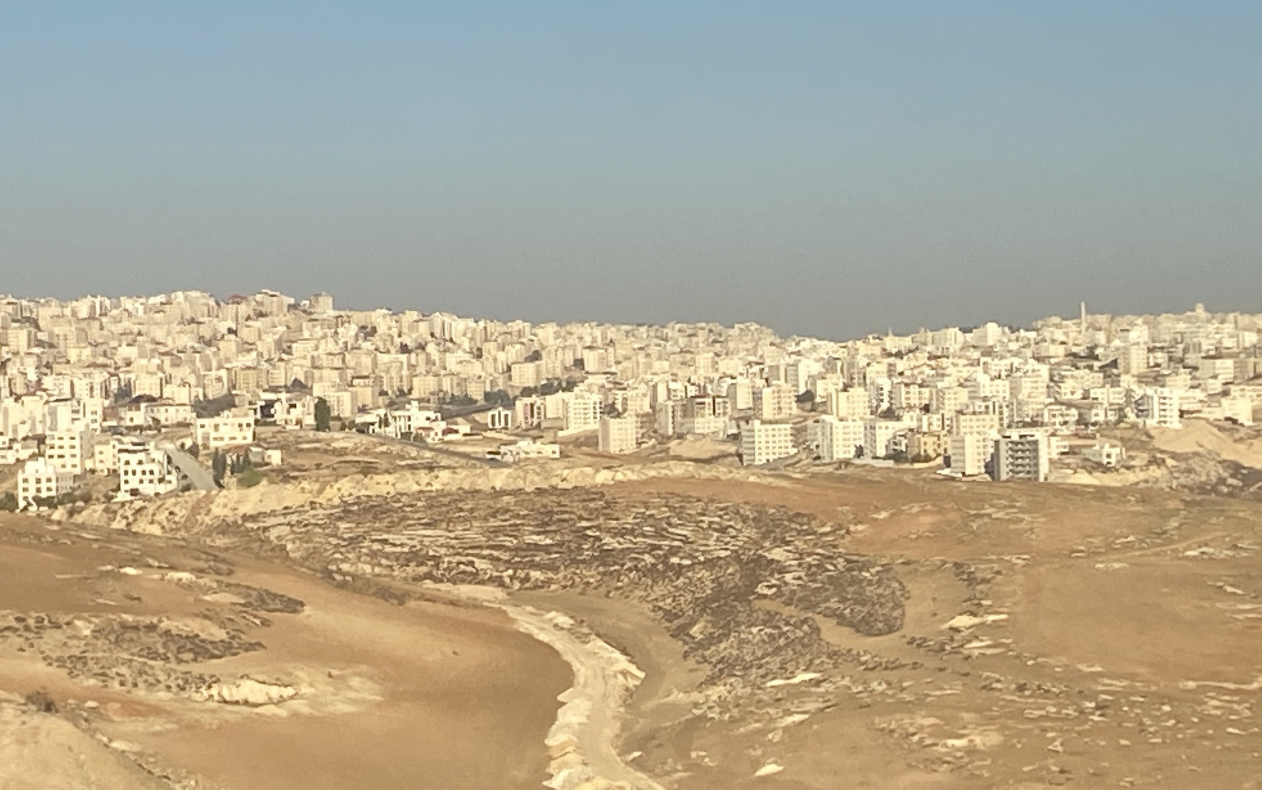
Amman, the white city.
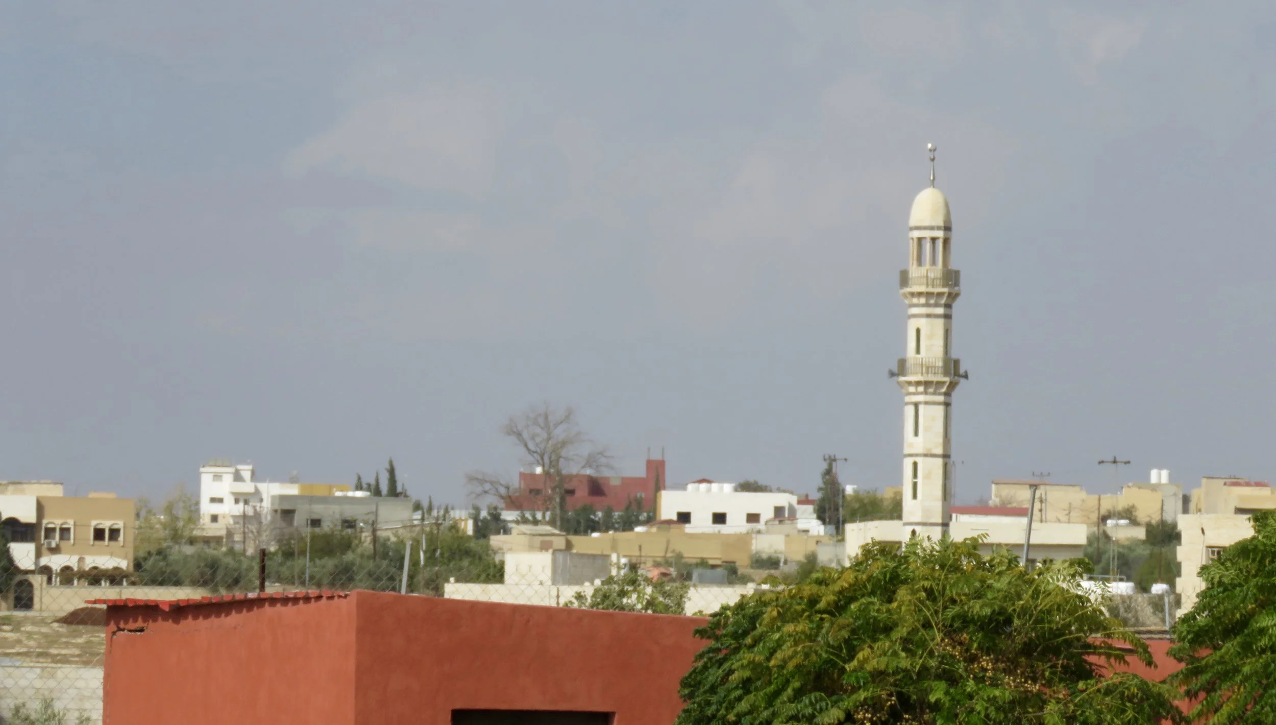
We first settled into the capital city Amman. This sprawling city was originally built on seven hills, it now spreads over more than fourteen, being home to some 4 million people. It is mostly a low, white city of limestone houses dotted with minarets that echoed the melodious call to prayer five times a day. With the sun on it and a blue sky overhead, the city was blinding white. Surrounded by desert, the temperatures dipped at night and I was surprised to learn it snows here in winter.
Amman’s oldest part is The Citadel, some 7,000 years old, the site of the ancient city of Rabbath-Ammon which is now mostly excavations of Roman and Byzantian ruins.
There are three main roads leading through Jordan: the Kings Highway, the Desert Highway and the Jordan Valley highway. Most roads are beautifully paved. The Desert Highway has probably the most commercial traffic on it.
The Kings Highway is an ancient route connecting south to north.
Our trip itinerary first took us outside Amman to the ancient city of Madaba. We loved walking the crooked streets, lined with ancient stone houses and walls. In the Greek Orthodox St. George Church we saw the oldest map in the world: a mosaic floor map of the Holy Land.
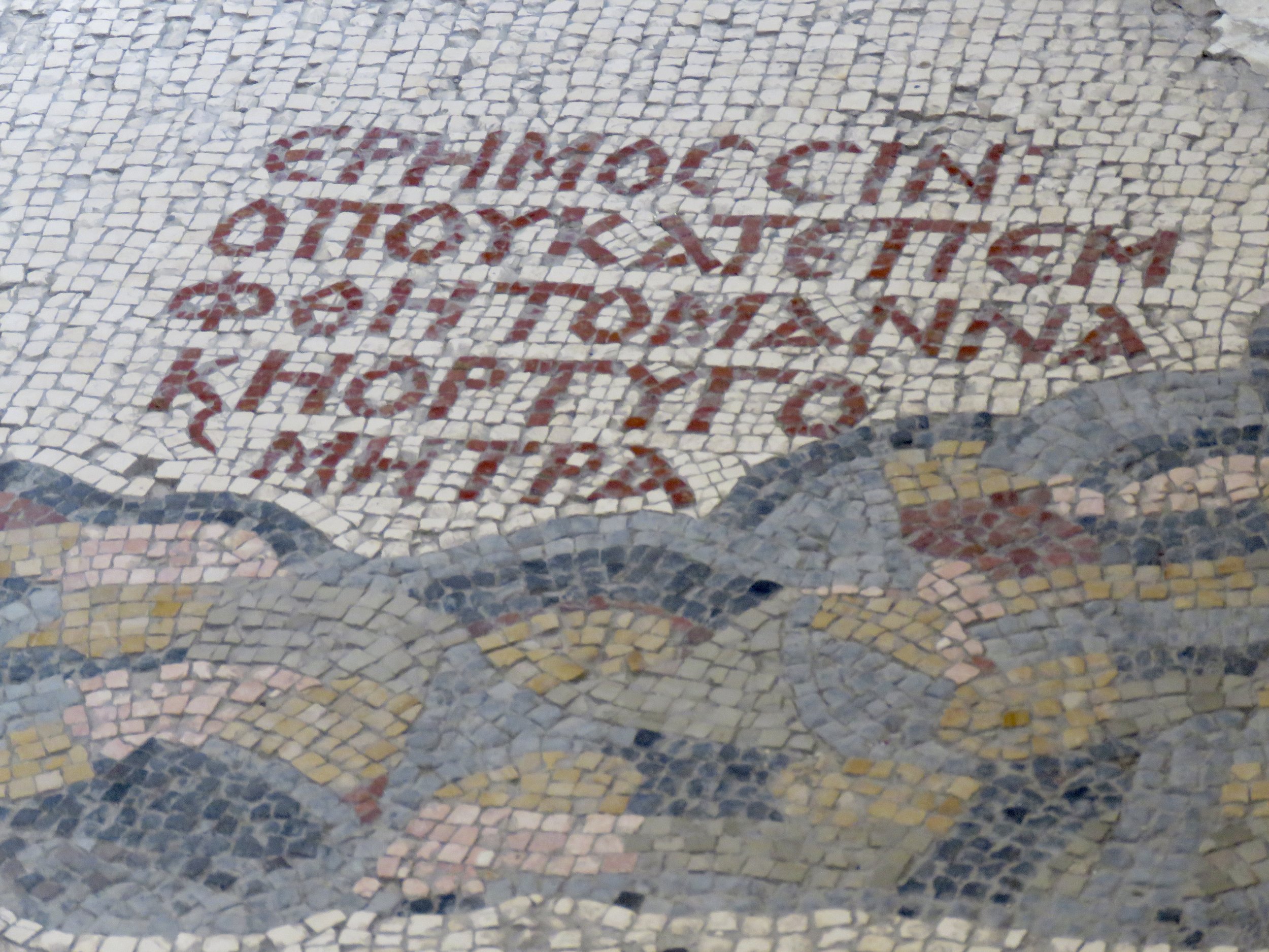
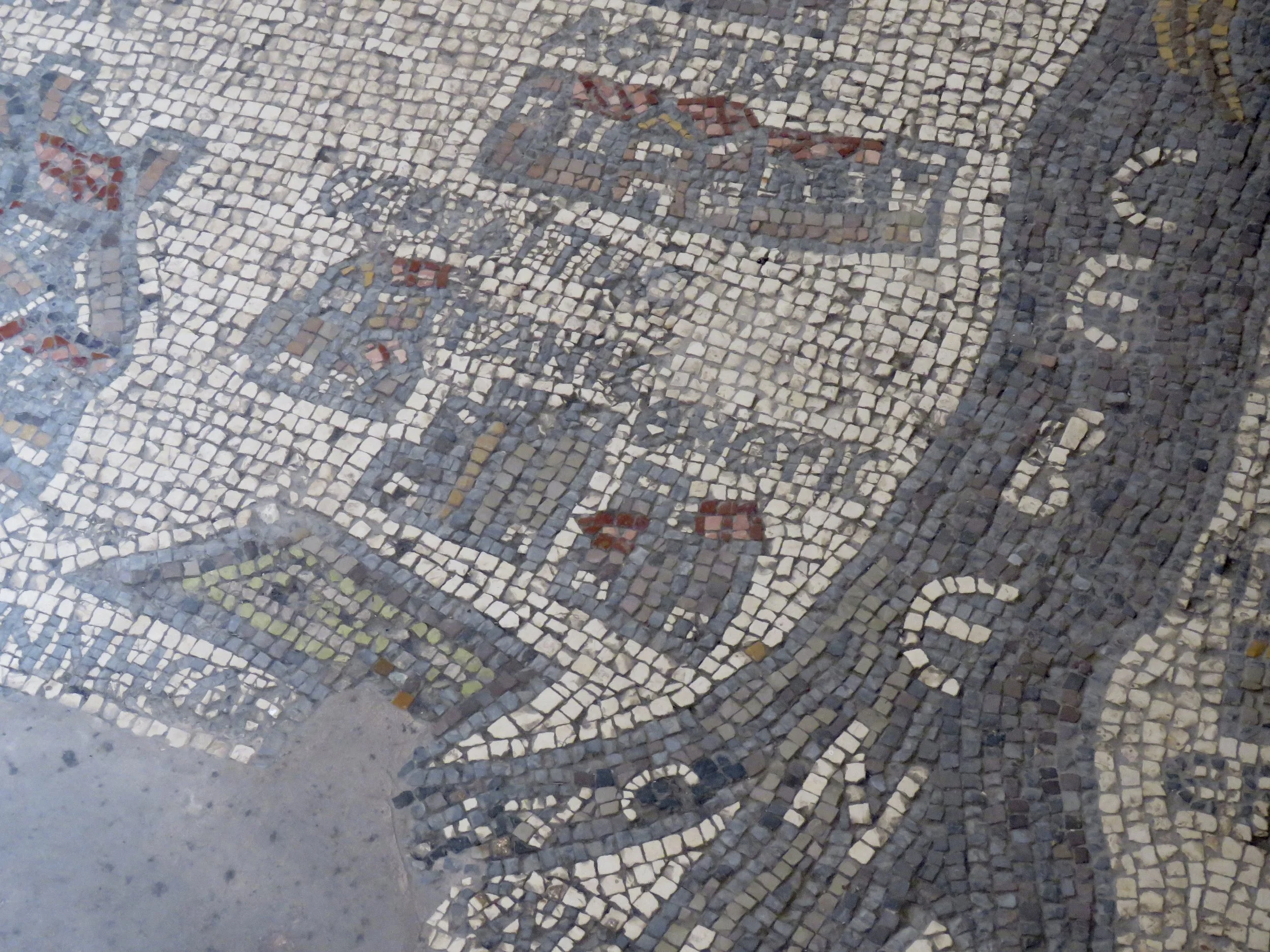
This church wasn’t built until the end of the 19th century, but during its construction workers found one of the most important relics of the Byzantine era: the Madaba Mosaic Map. Created in the 6th century, the mosaic was once a detailed map of Holy Land sites, covering modern-day Jordan, Israel, the Palestinian Territories, and Egypt’s Sinai. Only a quarter of the original work survives but even this shows astounding detail. If you look closely, you’ll see fish swimming in the Jordan River, the walls of Jerusalem, Mount Sinai, and even the Nile Delta.
Outside the church we bought refreshing pomegranate juice and, like good tourists, mosaic fridge magnets…
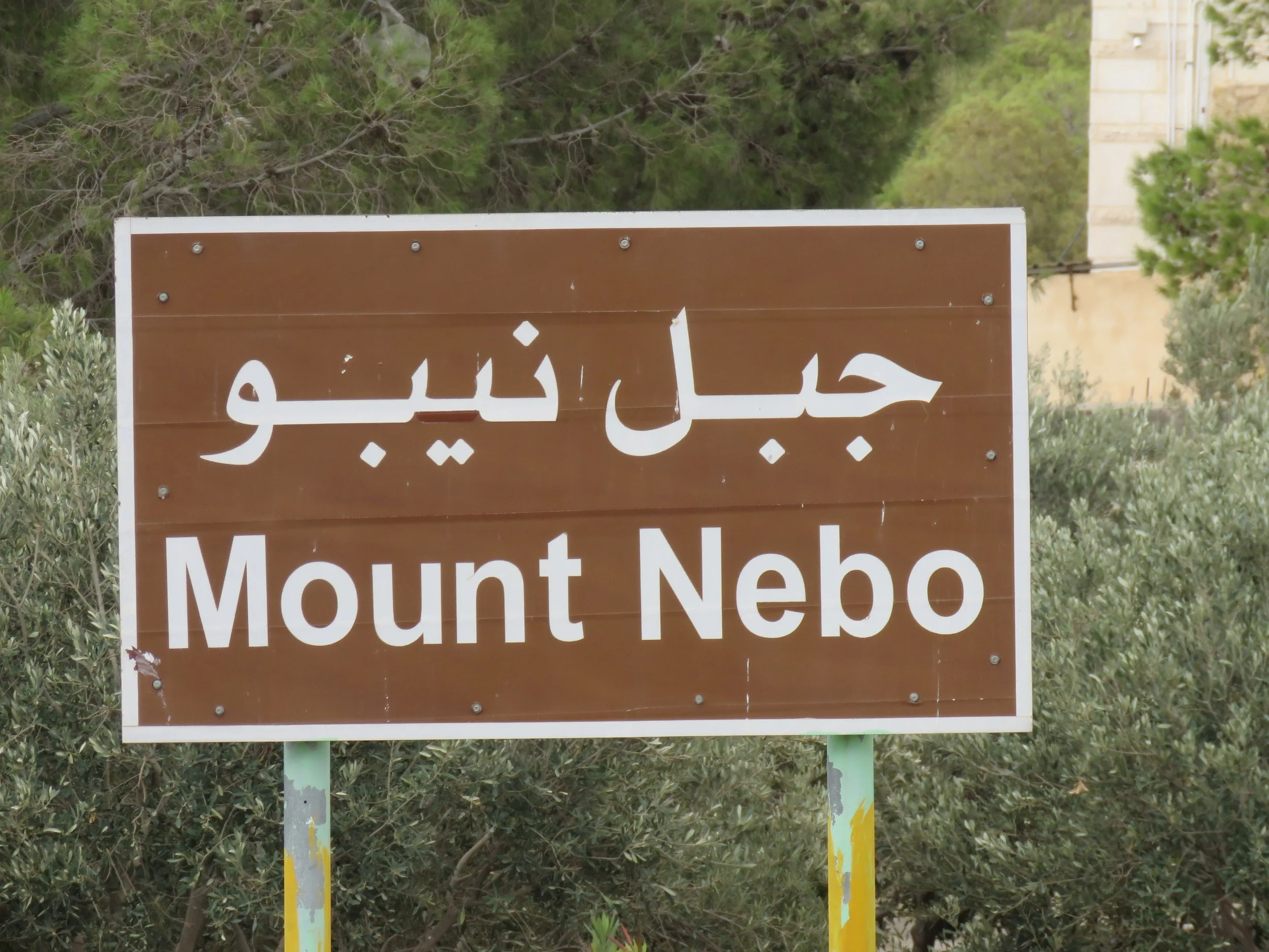
I had not realized that Jordan has important historic sites for Christians as well as Muslims. We visited Mount Nebo where Moses was shown the Promised Land and is said to be buried. From top of the Mount we could see Bethlehem and the outline of Jerusalem, only about 40 KMs away.
We’ll continue our journey into history next time by visiting ancient Desert Castles!
BOOKS
Resources: https://international.visitjordan.com/